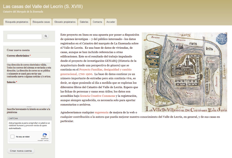
Access to the web site of the Grupo Catastro-Lecrín belonging to the Centro de Estudios Históricos del Valle de Lecrín y la Alpujarra (CEHVAL)
Edad Moderna
Online database with access to numerous references to houses and owners in the Lecrin Valley, according to the Ensenada Cadastre
Educational and informative website to guide the analysis of art from a gender perspective
Web repository with a brief introduction to music of the Modern Age
Famous map made by Nicolas de Fer around 1725 for the French monarchy and digitised by Gallica (Bibliothèque Nationale de France)
Lexilogos “Maps and Documents” collection: list of pages with old cartographic resources on France, from the 16th century to the present day
Collection “Working Maps: 17th-19th Century French Manuscript Maps” from “Making Maps: CIY Cartography”, where more than 4,000 maps extracted from 17th, 18th and 19th century French manuscripts are digitised
General map of posts and crossings of France made by Nicholas Langlois (1640-1703) at the end of the 17th century and digitised by Gallica (Bibliothèque Nationale de France)
Famous map made by Christophe Tassin, ordinary geographer of the French monarchy, around 1638 and digitised by Gallica (Bibliothèque Nationale de France)
List of Portuguese map libraries and cartographic institutions, including those that keep and digitalise old cartographic documents, especially from the Modern Age


