
Reproduction made in 1992 of the Universal Letter handwritten by Juan de la Cosa in 1500, on the occasion of the V Centenary of the Discovery of America, which is kept in the Naval Museum of Madrid (Sign. 257). Edition of 2,000 copies.

Siglo XVI
It is part of a petition and evidence of the cities of Guadalajara, Purificación, Zacatecas, mines of Tepeque (Bolaños), Etzatlán, Guachinango and Llanos de los Chichimecas (Lagos), on their behalf and on behalf of the conquerors and settlers of New Galicia presented before the oidor and visitador general Hernando Martínez de la Marcha on 10 January 1550 requesting the transfer of the seat of the diocese and the Audiencia from the city of Compostela to that of Guadalajara.
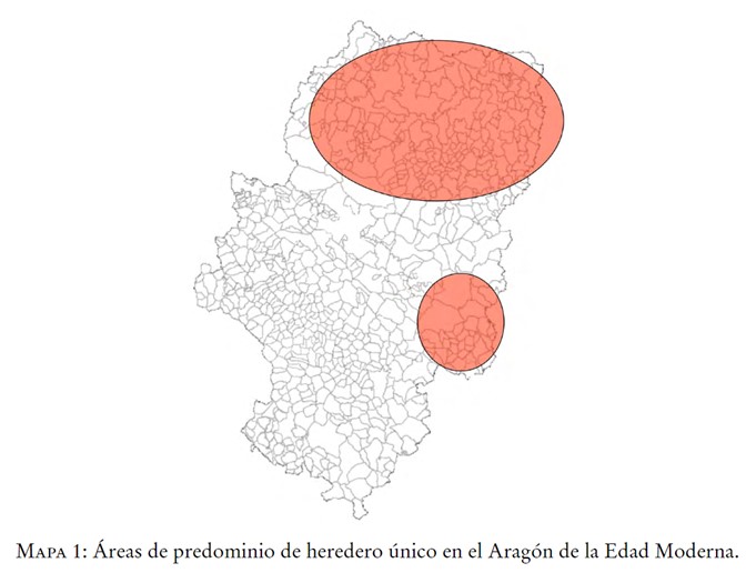
Map showing the greater implementation of the family policy of the sole heir in the Kingdom of Aragon during the Modern Age, as opposed to the egalitarian distribution of inheritance
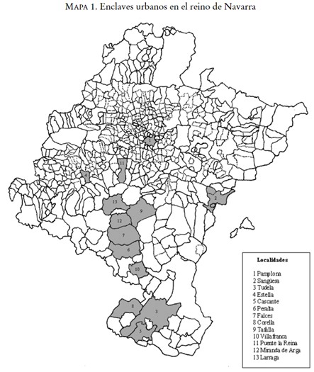
Map showing the main population centres in the kingdom of Navarre during the Modern Age; cities that were the main protagonists of greater conflict in comparison with the rural world
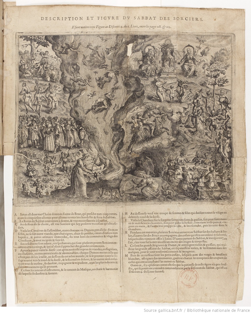
The image represents a “sabbat” or meeting of witches and witches where all the myths related to witchcraft practices are collected, such as the worship of the devil or “billy goat”, the sacrifice of children or the elaboration of poison.
Location of the monasteries of nuns in Cordoba in the late modern period
Plan of Benavente with the reconstruction of the walled enclosures and its urban structure in the 16th century
Map of Navarre with the lay lordships with jurisdiction in the 15th century indicated
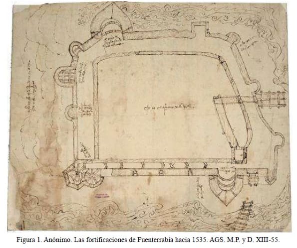
Plan of the fortifications of Fuenterrabia circa 1535
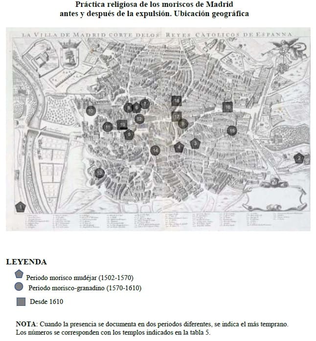
Map of Madrid showing the places where the Moriscos carried out their religious practice before and after their expulsion
Page 3 of 20

