Map of the kingdom of Navarre in the 17th century.
0. What is Europe? The European Spaces in the history of Europe.
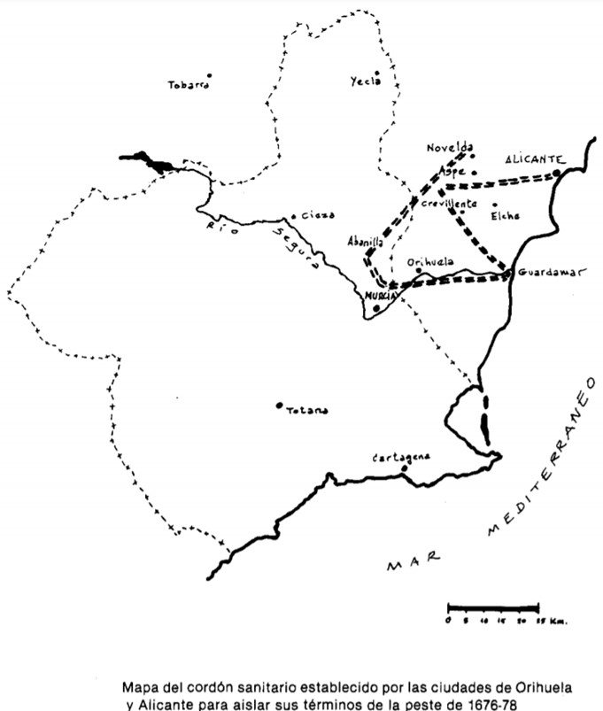
Map showing the cordon sanitaire between Orihuela and Alicante to prevent these cities from becoming infected by the plague at the end of the 17th century
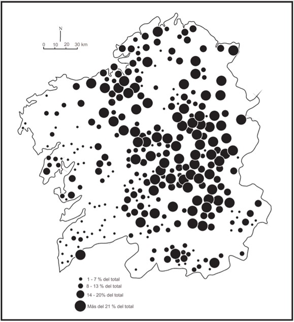
Map showing the distribution of households with servants in Galicia in the mid-18th century
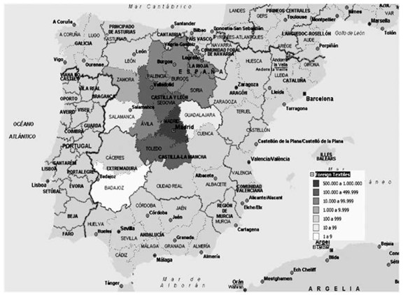
Map of the distribution of the foreign fabric in Castile during the context of the War of Succession to the Spanish throne. Casuistry that had an impact on lower demand
Cultural history
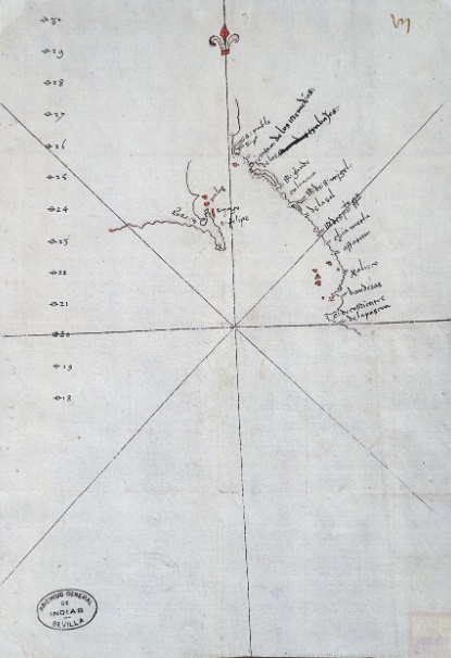
Map of the New Land of Santa Cruz, at the southern tip of California, discovered by Hernán Cortés in 1535.
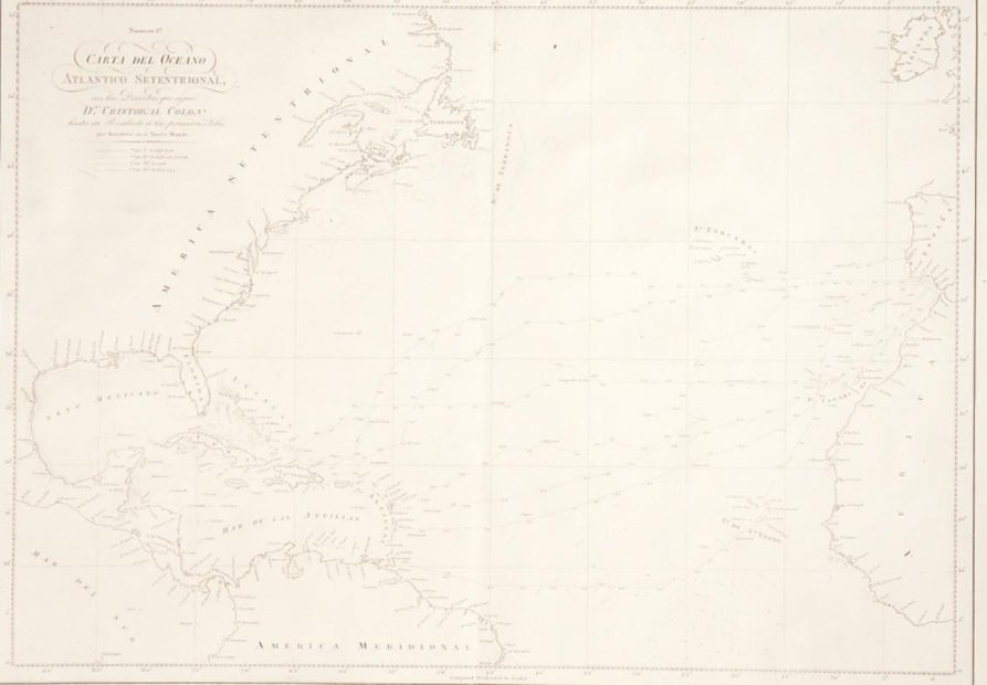
Map of the new lands discovered by Christopher Columbus on his four voyages to the American continent between 1492 and 1502.
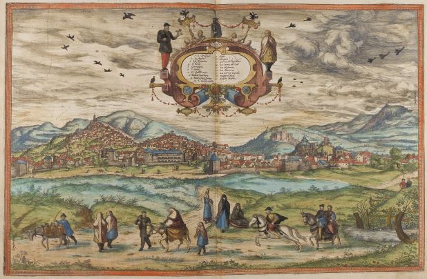
The image represents a view of Granada from the work Civitates Orbis Terrarum, by Georg Braun and Frans Hogenberg, produced around 1572. This work contains more than 500 perspectives, aerial images and maps of cities around the world.


