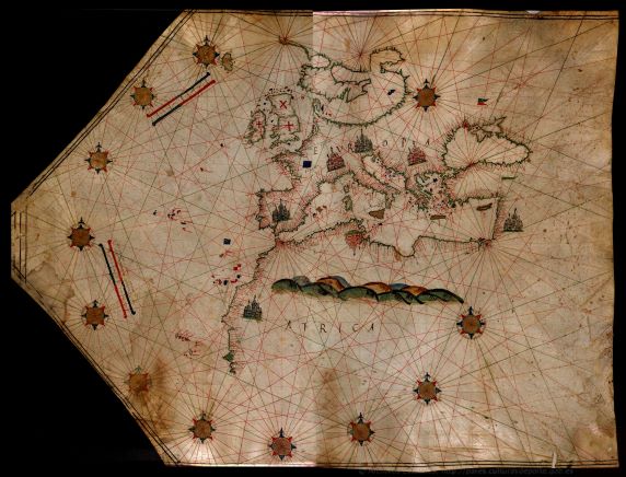
Maps and plans. The image depicts a portulan chart covering the Mediterranean and the European Atlantic.
África
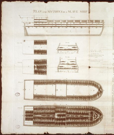
The image depicts the plan and section of a ship engaged in the black slave trade. The document is written in English and published in London.
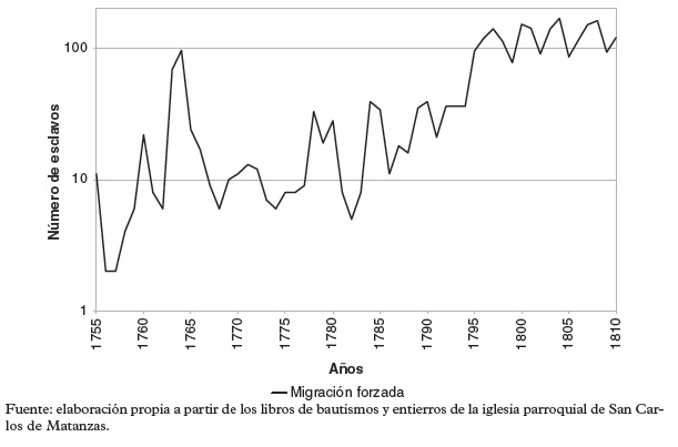
Fluctuation of forced migration in Matanzas, Cuba, between 1755 and 1810
Videogame set in the steps prior to the colonising phase carried out by the European empires in the 19th century
3D reconstruction of a slave ship


