Plan of the city of Almería in 1709 by the Marquis of Canales
Mapas
Map of the ports of the Kingdom of Valencia between 1250 and 1520.
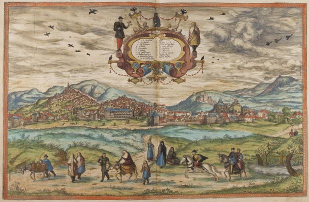
The image represents a view of Granada from the work Civitates Orbis Terrarum, by Georg Braun and Frans Hogenberg, produced around 1572. This work contains more than 500 perspectives, aerial images and maps of cities around the world.
Interactive video on the Discovery of America


