Map of the kingdom of Navarre in the 17th century.
Ciudades
Plan of the city of Almería in 1709 by the Marquis of Canales
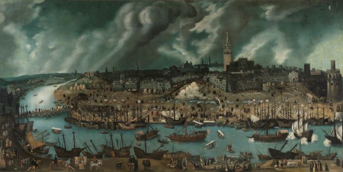
Representation of 16th-century Seville from the west side of the Guadalquivir River
Work attributed to Alonso Sánchez Coello, from the late 16th century, showing a view of the city of Seville from the Triana district.
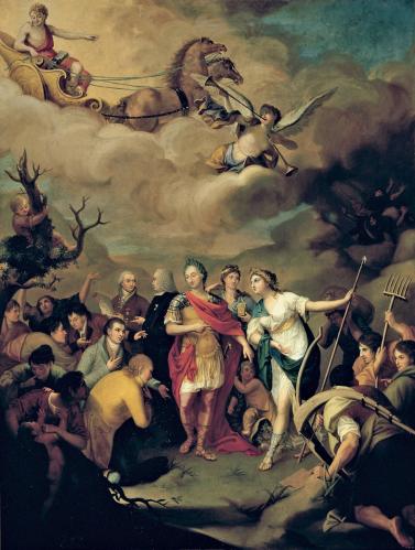
The image is a painting by Joseph Alonso del Ribero, dated 1805, which depicts Charles III handing over land in the Sierra Morena to settlers who had recently arrived from different territories.
Participation of socio-professional groups in Navarre’s institutions in the 18th century
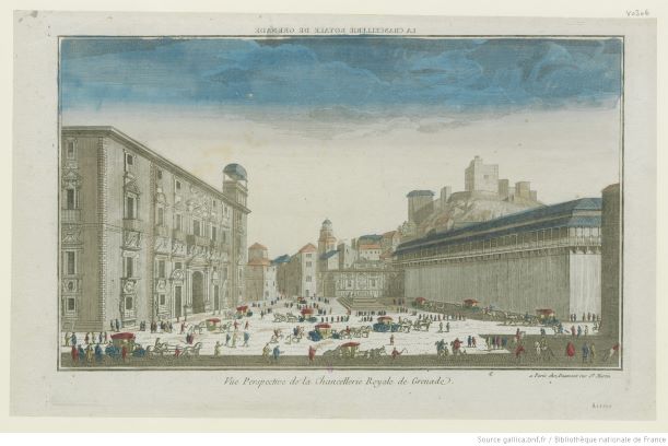
The image shows a view of the Royal Chancery of Granada around 1770. In the upper right-hand corner, part of the Alhambra can also be seen
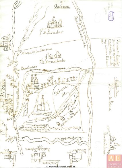
The image shows a plan-drawing of the Nuevas Poblaciones de Sierra Morena in the 18th century. Extensions of the municipal district of Hornachuelos (Córdoba) are depicted.
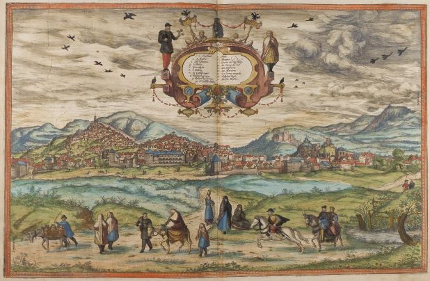
The image represents a view of Granada from the work Civitates Orbis Terrarum, by Georg Braun and Frans Hogenberg, produced around 1572. This work contains more than 500 perspectives, aerial images and maps of cities around the world.
Table showing the groups receiving loans in Segovia at the beginning of the 16th century, differentiating between residents of the same city and those of other towns


